
This photo is submitted by the Collingwood Historical Society to the Flickr Friday Photos 2012 challenge under the theme of “water”.
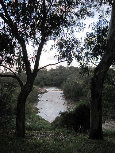
It is not very easy to get close to Dight’s Falls at present due to ongoing “improvement” works in the area and to the falls. However, it was a no brainer to include Dight’s Falls in a series of photos about water. Dight’s Falls are just east of the confluence of the Merri Creek and the Yarra River and are the furthermost point that boats can navigate upstream from the mouth of the Yarra. The Falls are called after Dight’s Mill which was to the left of the photo. Unfortunately the course of both the Yarra and the Merri Creek in this area was changed during the contruction of the Eastern Freeway in the 1970s and it is very difficult to work out what the lie of the land (and water) was before this time.